Thermal and zoom aerial work for Victorian sites
Aerial inspection from the Yarra Ranges. Thermal, zoom, construction progress, crop watching, mapping and night work. You choose the service; we allocate the aircraft.
Thermal, zoom, crop watching, mapping and night work. Victorian sites. The aircraft is allocated to the job.
Finds failed solar modules, hot electrical plant, wet roofs and equipment that’s running too hot. Radiometric thermal, faults marked.
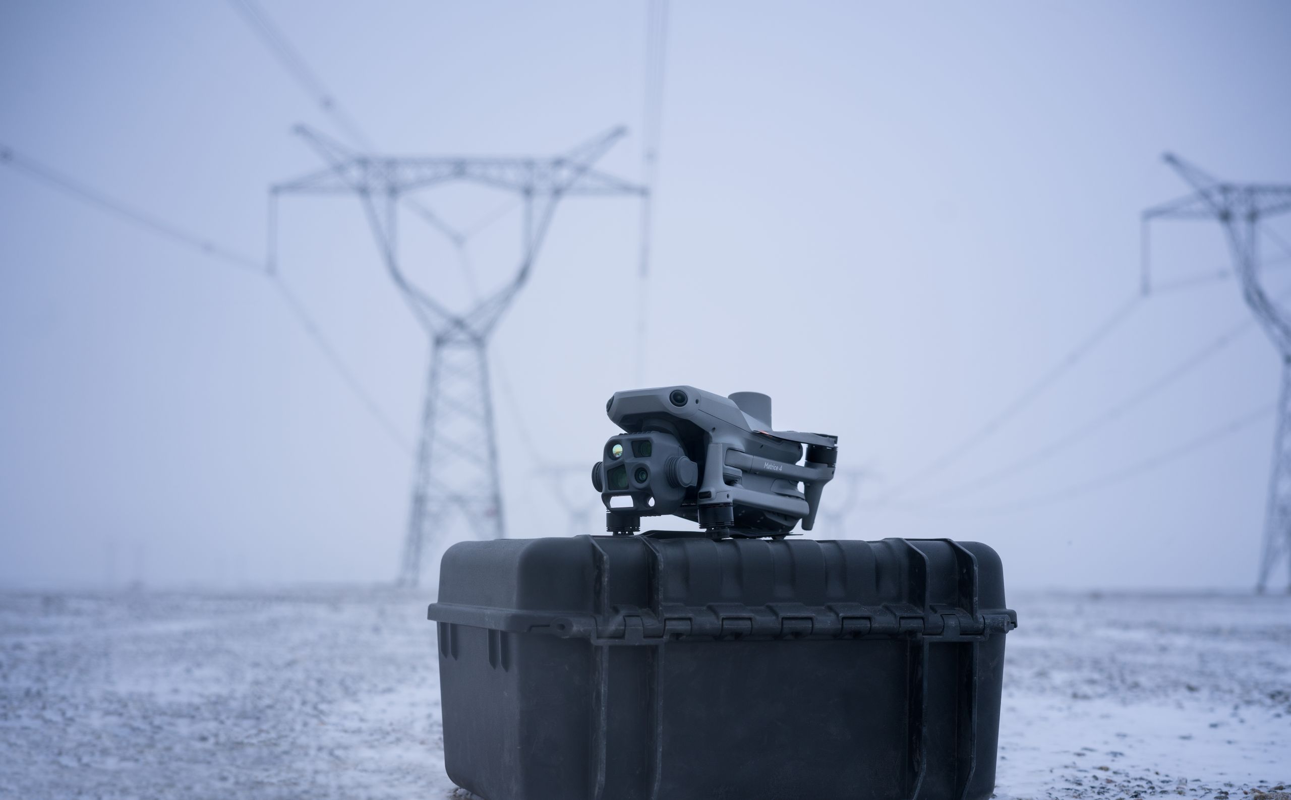
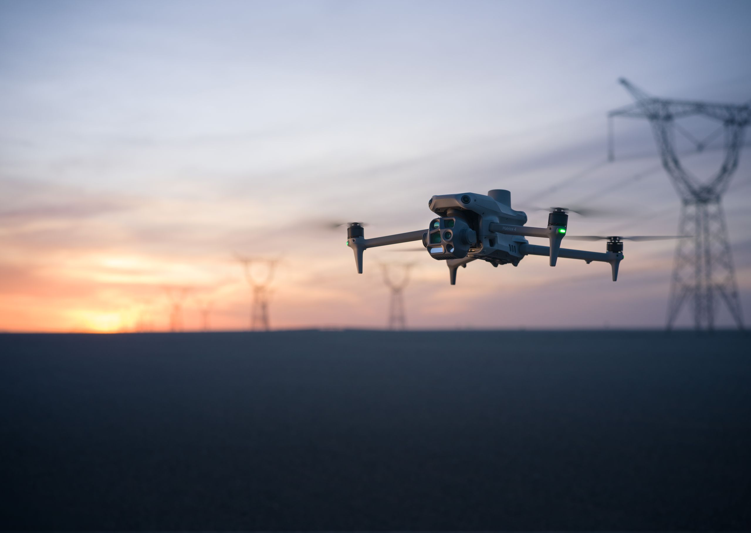
Towers, lines, roofs and industrial assets inspected from a safe standoff. Zoom, thermal and ranging — close-range detail without putting people on the asset.
Progress photos and video, site overviews and visual change tracking. Distances and spot measurements on the job. The pictures the site meeting actually uses.
Orthomosaics and 3D progress models. A map of the whole site you can overlay and share.
Regular eyes over crops, vines, orchards and stock. Thermal for water stress and irrigation leaks, visual for missing plants, fence lines and animals. Repeatable week to week.
Thermal, spotlight, speaker and AI detection of people, vehicles and vessels. Aerial support for the agency on the job.
Commercial night work: thermal, spotlight and speaker. Inspections, search support and scene lighting after dark.
You brief the service. We allocate the aircraft. Based in Mooroolbark, flying Victoria and further by arrangement.
Victorian builders, utilities, farms, solar owners and public-safety teams who need aerial eyes on the job.
Email the job, the location and what you need back. We’ll get a plan in front of you.
Contact Skyhawk Aerial