Imaging
- High-resolution stills and video
- Close-up detail from a distance, so nobody has to climb
- Repeatable flight paths, so records line up over time
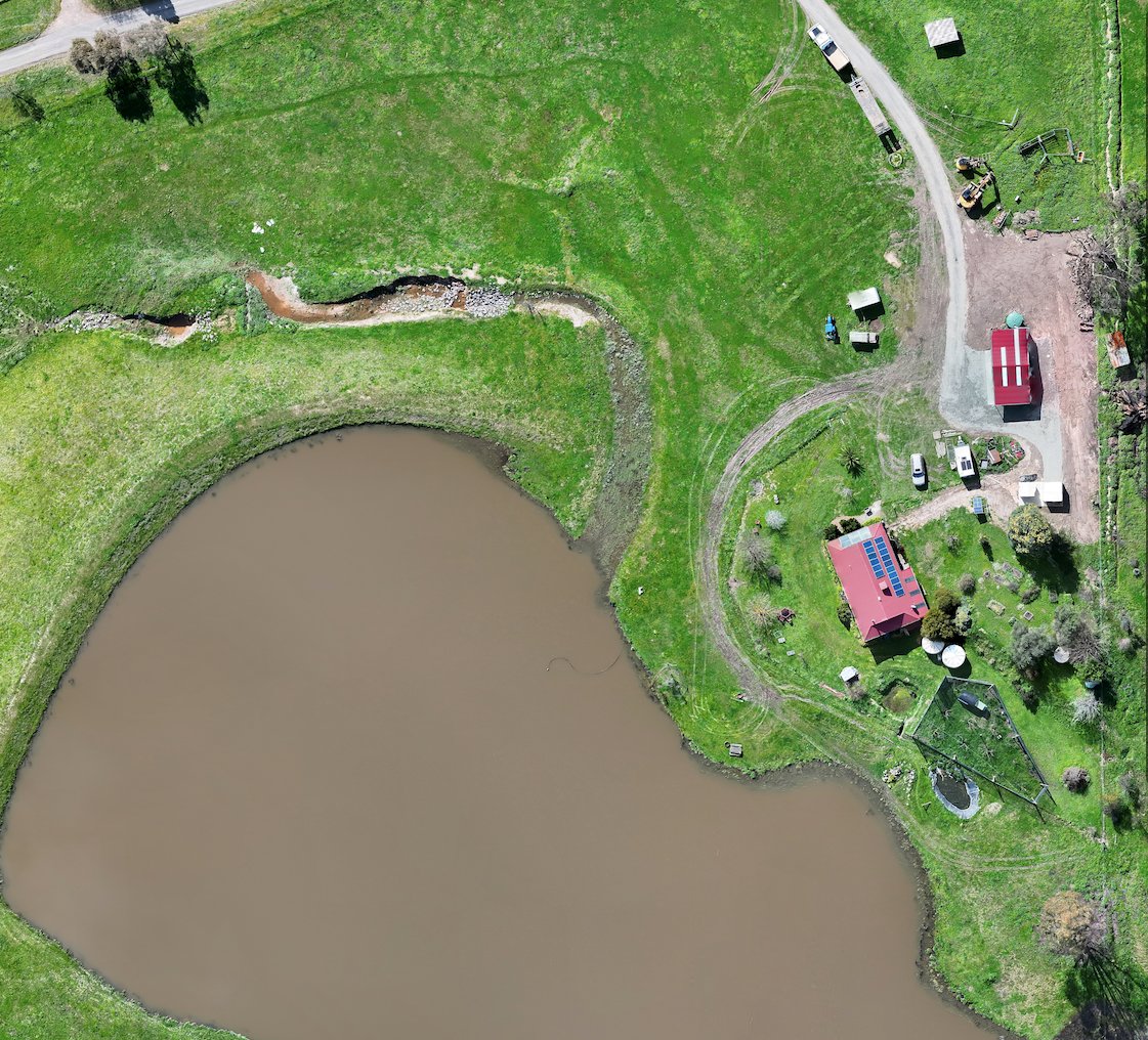
- Site maps and progress models
About
Maps, thermal images and inspection photos for farms, building sites and infrastructure, wherever you need us.
Every job is flown by a CASA-licensed remote pilot (RePL).
The business
Skyhawk Aerial is the trading name of T-DRONE PTY LTD. We supply information from the air: thermal images (pictures that show heat instead of visible light), close-up imagery, maps and measured distances. For public-safety work we can add voice-down (broadcasting a voice from the drone to people on the ground).
What you get back is practical: photos, thermal images, video or maps, laid out so you can act on them. That means fewer ladders and site walks, the whole property in one view, and a record to compare against next time.
Based in Victoria, we work where you need us.
We started Skyhawk Aerial because we love flying, and we run every job around one thing: what you need to find out.
Capability
Not every job needs all of it. We match what we bring to what you need to find out: thermal, zoom, mapping and voice-down.
Imaging
Thermal & sensing
Flying & mapping
Detection, measuring & voice-down
Process
Three steps, from your first message to the handover.
Tell us where the site is, what you need to find out and what you want handed back. We plan the job around that.
We fly the site and capture what you need to answer your question.
You get photos, thermal images, video, maps or measurements, set out so whoever's next on site can use them.
A one-off inspection or regular records across a whole season: tell us what you need to find out and we'll tell you what you'll get.